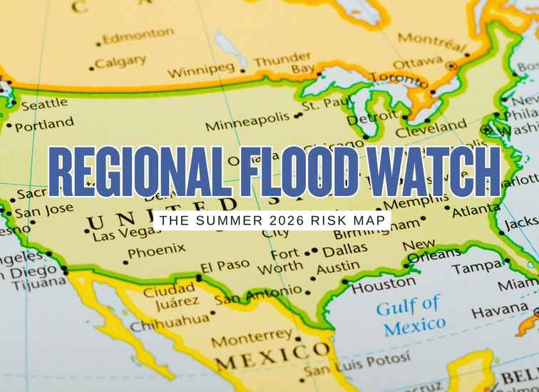
Summer flood risk in the United States is not setting up as one single national story. The broad federal backdrop going into summer 2026 is a spring with generally normal to below-normal large-river flood risk across much of the country, an emerging El Niño signal that is still early rather than locked in, a wetter seasonal tilt for parts of the Atlantic Coast and eastern Gulf Coast, a drier tilt from the Pacific Northwest into parts of the Rockies and Plains, and a drought outlook that still points to expanding dryness across significant parts of the West and High Plains. That combination matters because summer flooding often becomes less about one giant national melt or river event and more about regional patterns: repeated heavy rain along the East and Gulf coasts, flash flooding in urban and hilly terrain, monsoon-driven bursts in the Four Corners, and localized but still serious flood trouble wherever drainage, soil conditions, and storm track alignment create the wrong setup.
Summer 2026 flood outlook by region
This summer looks less like one national flood story and more like several very different regional setups happening at the same time. Some parts of the country have a wetter seasonal lean. Some have a drier broad backdrop but still face sharp local flood danger. Some may get their biggest flood problems from monsoon bursts, stalled storms, or tropical moisture rather than from broad river flooding.
Atlantic Coast and Mid-Atlantic
One of the clearer summer watch zones for repeated heavy rain
This is one of the more important regions to watch because the federal seasonal guidance leans wetter across much of the Atlantic seaboard, and that tends to raise concern for repeated rain episodes rather than just one isolated flood event. In this corridor, summer flood trouble often builds through accumulation. The first round saturates. The second round exposes drainage limits. The third round turns nuisance trouble into a real property loss story.
That makes this region especially important for low-lying neighborhoods, urban hardscape, older drainage systems, homes near small creeks, and streets that pond long before a river becomes a headline. For many owners here, the biggest mistake would be assuming summer flood risk only matters if a named storm is involved. In reality, repeated ordinary-looking rain periods can be enough to create insurance claims, road access trouble, and expensive water intrusion.
Southeast and Eastern Gulf Coast
A rain-heavy setup even before tropical season becomes the main story
The Southeast and eastern Gulf side deserve serious attention this summer because the broad precipitation setup is supportive enough that flood issues do not need a direct tropical event to become expensive. Repeated rain, saturated ground, drainage bottlenecks, and low coastal or inland access points can all create trouble before the public conversation even shifts into full storm-season mode.
That is what makes this region so important in summer flood planning. Many people only become alert when a named storm appears on a map. But for homes in weak drainage corridors, flat lots, or neighborhoods with recurring ponding, the larger problem can be simple rain stacking. If tropical moisture gets involved later, that only raises the ceiling further.
Ohio Valley and Great Lakes
Less seasonal drama on the map, but a region that can still flood fast
This is one of the places where a seasonal map can mislead people if they read it too casually. The broad federal outlook is not painting this region as one of the strongest summer precipitation anomaly zones, which can tempt buyers and owners to relax. But flood losses here often come from storm behavior that develops on shorter timescales than a seasonal map can communicate cleanly.
In plain terms, this region can still get hit by training thunderstorms, urban runoff episodes, swollen small basins, and periods where localized rain falls much harder than the bigger seasonal signal suggested. It is less of a headline summer flood zone than parts of the East Coast or monsoon Southwest, but it is still a place where one bad setup can cause a very expensive week.
Central Plains and Mississippi Valley
Drier broad signals do not cancel the flash-flood problem
This region is one of the easiest to misunderstand. The broader summer guidance leans drier across important parts of the Plains and interior, which does lower the odds of a season dominated by widespread flood headlines. But it does not erase the fact that severe thunderstorm complexes can still produce damaging rainfall in very short windows, especially where topography, channel capacity, urban development, or local drainage are not forgiving.
That means the smart read here is not “lower risk equals no problem.” It is “lower broad pressure, but sharp local event danger remains.” Owners and buyers in this region should think less about the seasonal headline and more about how their lot, neighborhood, and nearby drainage behave when one major storm train stalls over the wrong place.
Southwest and Lower Four Corners
One of the most important flash-flood regions of the summer
This is one of the most interesting summer flood regions in the country because the threat is less about slow-building river systems and more about sudden, intense runoff tied to the monsoon pattern. The official summer guidance gives this region a wetter lean, and that matters because a robust monsoon setup can quickly produce dangerous flooding in washes, canyons, burn scars, and fast-growing urban corridors with imperfect runoff control.
This is also one of the easiest regions to underestimate if someone looks only at annual dryness. Dry places still flood hard when rainfall arrives in short bursts over poor terrain for absorption. In many parts of the Southwest, it does not take a long rain event to create a serious rescue or property-loss situation. It takes the wrong storm over the wrong ground.
Pacific Northwest and Northern Rockies
Lower broad flood pressure with localized terrain exceptions
The broad summer signal here looks quieter than in the East and quieter than in the monsoon-sensitive Southwest. A drier seasonal tilt and expanding drought concerns argue against this region becoming one of the major national flood storylines of the summer. That matters because it lowers the chance of a truly widespread flood season feel across the region.
But quieter is not the same as harmless. Terrain-driven runoff, burn-scar response, and isolated heavy storms can still produce damaging flood events in pockets of the region. The right way to read this area is as lower broad pressure with targeted exceptions that matter a lot wherever local geography turns a modest storm into a fast runoff problem.
California and Nevada
Not a dominant summer flood headline, but still vulnerable in the wrong places
California and Nevada do not look like the center of the national summer flood map, and that is an important part of the story. The broader western setup remains heavily shaped by dryness and drought pressure rather than by a strongly wet summer pattern. That lowers the chance that this region will spend the summer under broad flood alarm.
Still, it would be a mistake to turn that into false comfort. Summer flood losses here can still emerge through burn scars, steep foothill drainage, isolated convection, debris-prone runoff corridors, and urban areas that do not handle sudden water well. The smart conclusion is not that California and Nevada are safe. It is that their summer flood risk is more selective, more localized, and more dependent on site-specific vulnerability than on a sweeping national signal.
Quick regional ranking board
| Region | Summer 2026 tone | Main flood style | Best planning focus |
|---|---|---|---|
| Atlantic Coast and Mid-Atlantic | Elevated watchfulness | Repeated heavy rain and urban flooding | Drainage, low access points, insurance review |
| Southeast and Eastern Gulf Coast | Elevated with tropical upside risk | Rain stacking, tropical moisture, flash flooding | Early summer readiness, not last-minute reaction |
| Ohio Valley and Great Lakes | Localized event risk | Training storms and basin response | Short-range forecast discipline |
| Central Plains and Mississippi Valley | Lower broad signal, still storm-sensitive | Thunderstorm flash flooding | Local runoff and creek response awareness |
| Southwest and Lower Four Corners | Monsoon-sensitive | Flash flooding in washes, canyons, burn scars | Terrain-focused local planning |
| Pacific Northwest and Northern Rockies | Lower broad pressure | Localized terrain and burn-scar runoff | Targeted caution in sensitive basins |
| California and Nevada | Localized caution | Burn-scar and foothill flash flooding | Site-specific vulnerability review |