When heavy rain starts, or a dam releases upstream, the clock begins. What most of us don’t know is how long we actually have before water reaches our street or front door. This guide sets the stage for a simple simulation: pick a rainfall rate or dam release, add a few local details, and estimate your warning time so you can plan what to do first.
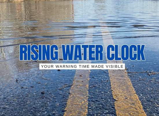
🌧️ How Fast Could a Flood Reach You?
Floods move faster than intuition. Use our upcoming simulator to estimate how quickly water could travel from nearby creeks, rivers, or storm drains to your property under different conditions.
- Choose a trigger: heavy rainfall or upstream release.
- Add local context: distance to water, ground slope, soil/drainage.
- See your window: a clear estimate of warning time.
This is an educational estimate, not a substitute for official alerts. Always follow local emergency guidance.
Results are indicative and depend on local topography, drainage, and infrastructure. For life-safety decisions, use official alerts and evacuation orders.
🌧️ Flood Speed Simulator
Choose a scenario, adjust local conditions, and estimate how long it may take for floodwaters to reach your property. This tool provides educational, order-of-magnitude timing — always follow official alerts and evacuation orders.
>
We built this simulator because we’ve felt that knot in the stomach when storms roll in or a dam release is announced upstream and we’ve asked ourselves, “How much time do we really have?” Now, we can put numbers, even rough ones, to that question. We know this isn’t a replacement for official warnings, but it’s a tool we’ll keep using and refining to get a clearer picture of our own flood risk. By running these scenarios ahead of time, we’re better prepared to act quickly when minutes matter and we hope you will be too.